Drone History at Luc-sur-Mer Marine Station
For more than 25 years, the Coastal Environment Research Centre at the Luc/Sea Marine Station has been looking to the sky, using drones from the very first hour for these coastal monitoring and coastal erosion operations.
chronology:
1990: Construction of a model piper by Jean-Paul Lehodey
1991: First vertical images above (choose a site).
1995: Purchase of a DVQS (Near-Flying Drone) used as a target aircraft for radar (military applications)
1997: followed by the Gros Banc coastline in Merville-Franceville
1999: above Egmond an Zee (Netherlands) as part of the European COAST3 programme
2004: follow-up of the Ecoplage process in Villers-sur-mer: shooting at 400 m altitude
2016: purchase of a LA300 Lehmann Aviation drone for automatic flight
2017: purchase of the Ebee, RTK,PPK drone dedicated to high-resolution photogrammetry
2018: purchase of xena multi-copter drone, PPK drone dedicated to high-resolution photogrammetry
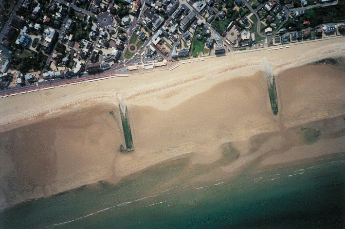
villers-sur-mer (écoplage)
photographie verticale de villers-sur-mer
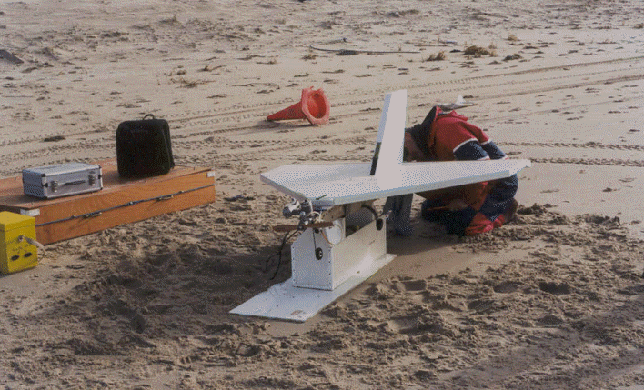
DVQS
DVQS (Drone à vol quasi stationnaire)

LA300
drone LA300 Lehmann
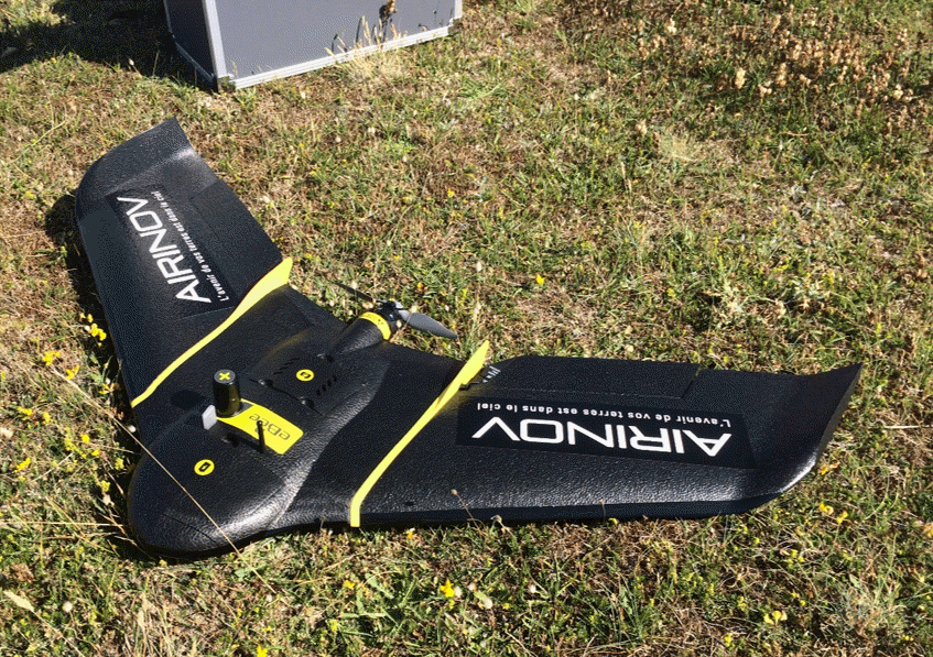
Ebee
Ebee+, drone RTK,PPK